Difference between revisions of "star mapping"
From Trekipedia
m |
m |
||
| Line 11: | Line 11: | ||
talos_star_group_map-tos00.jpg|Map of the [[Talos Star Group]] ({{TOS01}}) | talos_star_group_map-tos00.jpg|Map of the [[Talos Star Group]] ({{TOS01}}) | ||
romulan_neutral_zone-tos08.jpg|Map of the [[Romulan Neutral Zone]] ({{TOS09}}) | romulan_neutral_zone-tos08.jpg|Map of the [[Romulan Neutral Zone]] ({{TOS09}}) | ||
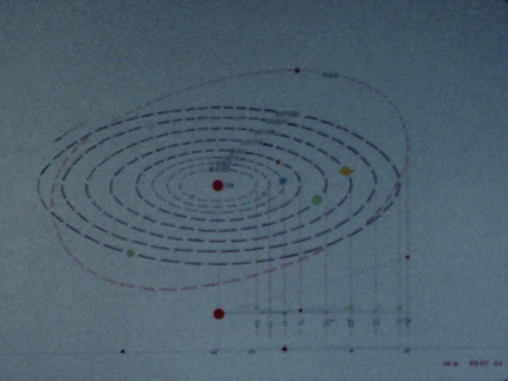
| + | sol_system_enhanced-tos37.jpg|Map of the Sol system (enhanced; [[Media:sol_system-tos37.jpg|Original]]) | ||
map-snw10.jpg|Map of the [[Romulan Neutral Zone]] and surrounding sectors ({{SNW10}}) | map-snw10.jpg|Map of the [[Romulan Neutral Zone]] and surrounding sectors ({{SNW10}}) | ||
</gallery> | </gallery> | ||
Revision as of 10:47, 14 August 2023


The U.S.S. Enterprise NCC-1701 was three days into a star mapping mission when it encountered a First Federation warning buoy on Stardate 1512.1.[1]
Image Gallery
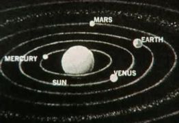
Map of the Sol system (TOS01)
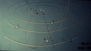
Map of the Talos Star Group (TOS01)
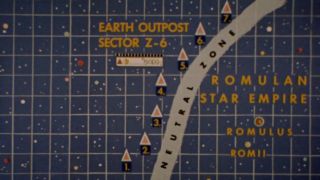
Map of the Romulan Neutral Zone (TOS09)
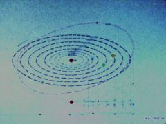
Map of the Sol system (enhanced; Original)
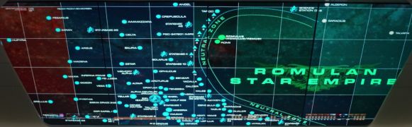
Map of the Romulan Neutral Zone and surrounding sectors (SNW10)


Notes and References
- ↑ Roddenberry, Gene (Executive Producer). "The Corbomite Maneuver". Star Trek, season 1, episode 10 (Production number 03). Directed by Joseph Sargent. Written by Jerry Sohl. Desilu Productions. 10 November 1966.